Web Services
Explore our publicly available Web services that provides users access to NGS APIs. The results of all NGS web services are in JSON format.
GEOID API - The Geoid Height Service
Web service that distributes the geoid height of the NGS geoid models in a concise and portable way. The web service provides the geoid height (of a model specified by its model ID) at any given latitude and longitude. Learn more
Related Content: GEOID Models
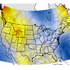
API for Gravity Predictor using GRAV-D (airborne gravity) Data
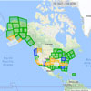
Web service that distributes gravity data collected from the GRAV-D project in a concise, portable, and expandable way. The web service allows a user the ability to provide any geodetic location (latitude, longitude, and ellipsoid height), and the tool will output a gravity value based upon the GRAV-D data. Learn more
Related Content: GRAV-D , GRAV-D Data Blocks
API for NGS Data Explorer
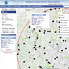
Web service that distributes limited attributes from publishable data sheets for varying types of survey control. The primary purpose of this web service is to provide location and metadata for the many survey control marks throughout the nation and territories. Learn more
Related Content: NGS Web Map
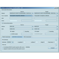
API for NGS Coordinate Conversion and Transformation Tool (NCAT)
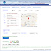
NGS’s Coordinate Conversion and Transformation Tool (NCAT) allows users to easily convert between different coordinate systems as well as different datums, in a single step. Learn more
Related Content: NCAT
API for VDatum Tidal
VDatum Tidal API is designed to vertically transform geospatial data among a variety of ellipsoidal and orthometric vertical datums to tidal datums. Learn more
Related Content: VDatum
API for OPUS
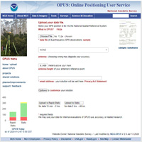
Web service that distributes limited attributes from OPUS shared solutions.
Learn more
Related Content: OPUS
API for NCN
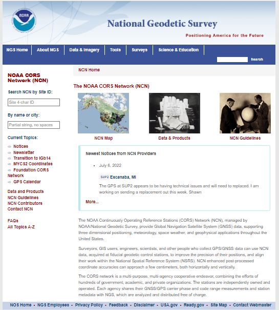
Web service that distributes limited attributes for NCN.
Learn more
Related Content: NCN

