Forms commonly used during GNSS projects: |
Optional forms: |
| SEE ALSO: airport survey forms |
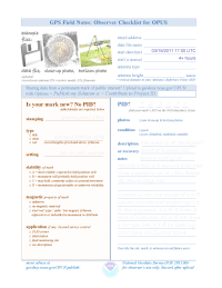
for OPUS sharing (optional)
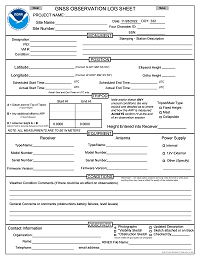
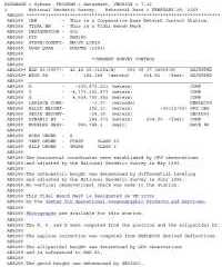
A field record used to document all equipment, activities, and other metadata associated with a static GPS observation.
for OPUS sharing (optional)
OPTIONAL
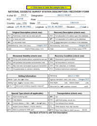
Used during field reconnaissance to provide new or updated descriptions for a survey mark.
These descriptions are entered into WinDesc for bluebooking, or, on-line for mark recoveries.
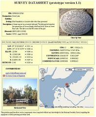
Datasheets provide information about existing marks in text or GIS formats.
See also OPUS shared solutions.
OPTIONAL
for most* OPUS projects. Consider photos instead.
* REQUIRED
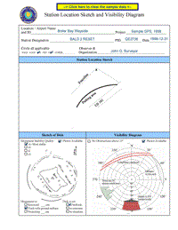
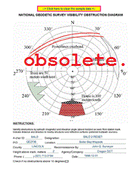
for airport surveys.Used to sketch any trees, buildings, mountains, wires, or other obstructions which may interfere with the GNSS line-of-sight satellite signals. These diagrams are useful during processing to explain signal losses, multipath, or radio-interference.
To fill out this form, use a magnetic compass to measure bearings and an inclinometer to measure vertical angles to obstructions. Sketch the surrounding obstructions, seen as a "fish-eye" or "bubble view" of the sky over the antenna, with the edge of the outer circle at the horizon, and the center at zenith overhead.
OPTIONAL
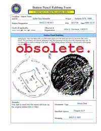
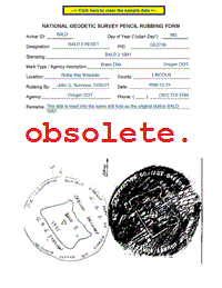
Consider photos instead.Used to obtain an impression of the mark stamping for positive identification of the mark occupied during a GPS observing session.
To make a rubbing, the mark should be as clean and dry as possible. Place the blank form (or other blank slip of paper) over the mark and rub over the entire disk with a pencil (a wide lead, e.g., a carpenter's pencil works best). If it is impossible to make a rubbing of the mark, or if the rubbing appears indistinct, a sketch and/or photograph can be substituted. For NGS rod marks, rub only the designation and date stamping from the rim of the aluminum logo cap.

