Geodetic Control Diagrams
Before Global Positioning Systems (GPS) became ubiquitous for surveying, users of the National Spatial Reference System (NSRS) had to use paper maps to find survey monuments. One of these types of maps are called Geodetic Control Diagrams (GCD) and were developed by the US Coast and Geodetic Survey (predecessor to the National Geodetic Survey) in partnership with the US Geological Survey (USGS).
These maps depict the survey networks and geodetic control from traditional surveying methods done when surveyors crossed the nation, e.g. line of sight, triangulation, traverse, trilateration, and leveling. The resulting network of accurately reliable points was extensively used in building and modernizing the nation's infrastructure, until improved upon through evolving technology, and later replaced with satellite derived, three-dimensional positioning techniques.
While these maps were used to help find control in the past, today they are available only for historical purposes and should not be used for control today. You can use the GCD Web Map for viewing these historical maps.
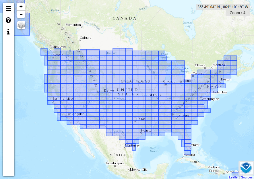
Click the image to go to the Geodetic Control Diagram (GCD) Web Map
For questions, please contact the Communications and Outreach Branch.

