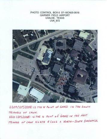
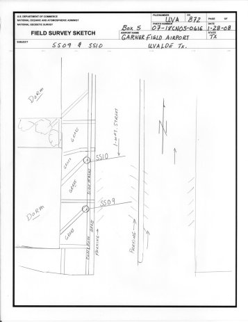
Airport Name: GARNER FIELD AIRPORT (UVA)
City/State: UVALDE, TEXAS
Designation: SS#10(GPS)2008
Latitude: 29 13 10.7270 N
Longitude: 99 44 32.1091 W
Orthometric Elevation: 941.714 FT
Horizontal Datum: NAD 83
Orthometric Datum: NAVD 88
Download UVA 2008 photo control list in comma delimited format.
Click on an Image for Full Size


