NGS personnel spent several days in the field collecting obstruction data. A total of sixty-one (61) features were verified or positioned during this special survey. The majority of features were positioned by obstruction (triangulation) baseline methods with a common side horizontal closure side check and three (3) elevation determinations providing extra vertical checks.
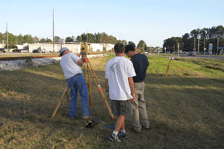
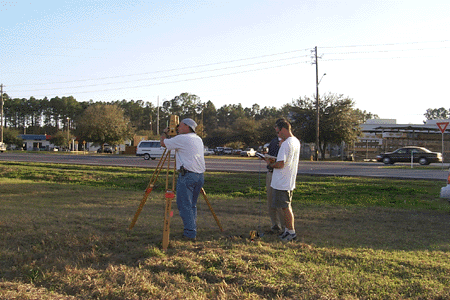
The images below show Stu Kuper, Chris
Parrish and Jason Woolard at a site near the Gainesville Regional Airport.
|
|
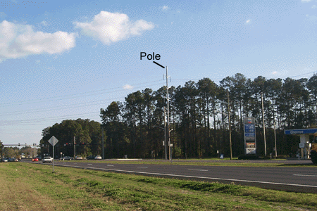
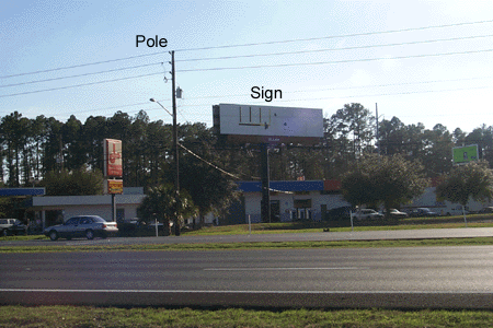
The images below depict the type of obstructions
identified and surveyed by NGS personnel. Analysis is ongoing to determine
how these objects are detected using airborne LIDAR.
 |
 |