|
The digital
sensor system incorporates the camera with an inertial navigation system including a GPS
unit and inertial measurement unit (IMU) to allow for rapid georeferencing
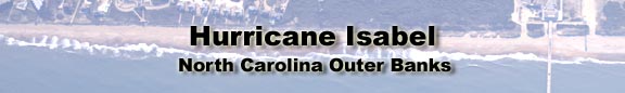
of the images. The camera was flown at about 2500 meters collecting imagery
from Topsail Island near Camp Lejeune, NC up to the NC/Virginia state
line. Many areas of the outer banks were pummeled by the storm with winds
up to 100 mph and overwash destroying homes and parts of the main highway,
NC-12, along the Outer Banks corridor. Hurricane damage assessment was
made quickly using the images to see where dunes were breached, the road
washed away, and structures moved. Imagery collected by the NCDOT in 1998
offered a quick reference to pre-storm conditions.
|